J.W. Kozikowski
Urban Planner and MLA Candidate
Design and Planning Portfolio
Calzada Mexico - Tacuba, Ciudad de Mexico
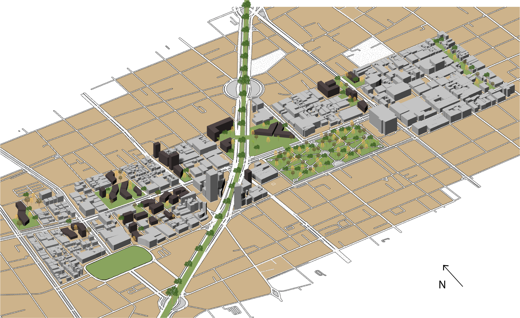
This project examined the conditions and opportunities of the neighborhood surrounding a major thoroughfare in Mexico City. The Calzada had become almost impassable to pedestrians due to informal commerce and lack of city services. The proposal involved creating several high-density housing blocks as well as corporate or university campuses, whose public open spaces would create alternative routes through the neighborhood. In this way, street commerce would be minimally impacted, while the neighborhood would be reoriented inward- with the blocks surrounding the Calzada becoming less tertiary and more dynamic.
This model began in ArcGIS and was moved as linework into AutoCAD, extruded in Rhino, and subsequently edited in Illustrator.
Design
This model began in ArcGIS and was moved as linework into AutoCAD, extruded in Rhino, and subsequently edited in Illustrator.
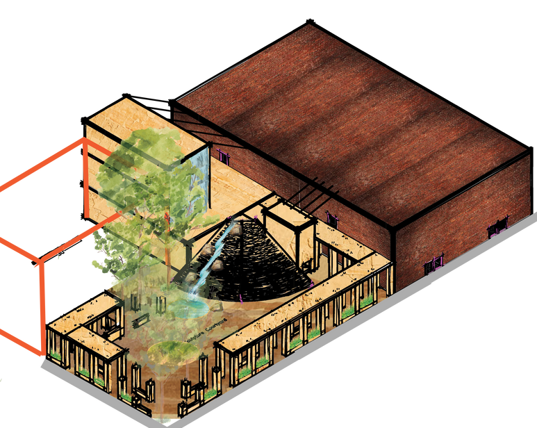
Left: Initial Illustrator and Photoshop sketch proposal
Design
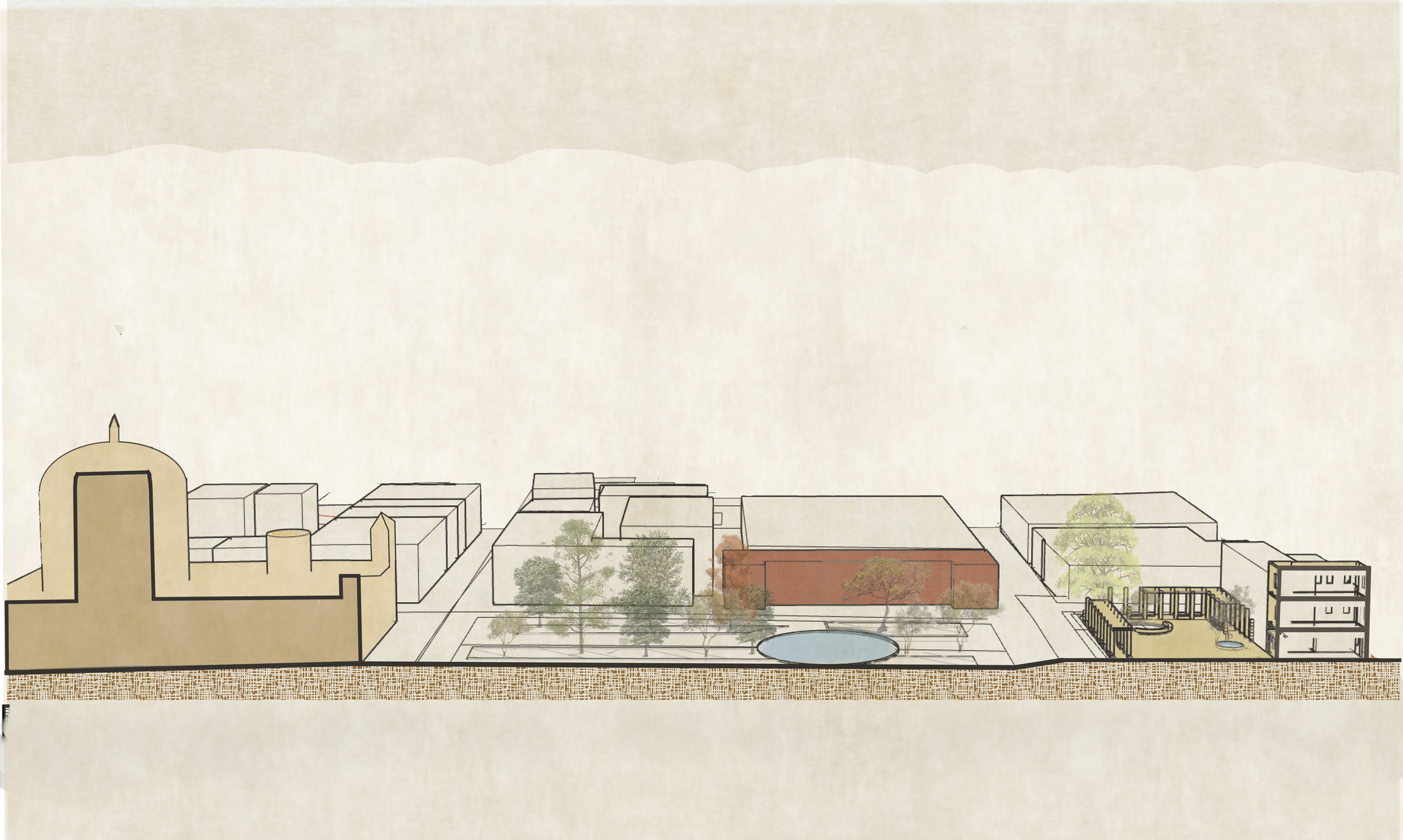
Bottom Image: Longitudinal site section, the result of an AutoCAD -> Rhino Model -> Adobe Illustrator Workflow
Sinagoga Justo Sierra Complex, Centro Historico, Ciudad de Mexico
A studio project that proposed the revitalization of a former synagogue and now community center for the 40,000 strong Jewish population of Mexico City. The project proposed an outdoor event and worship space with flowing water that would specifically allow for traditional celebration of Sukkot, Tashlich, and Tu Bishvat, as well as improving accessibilty.
Planning
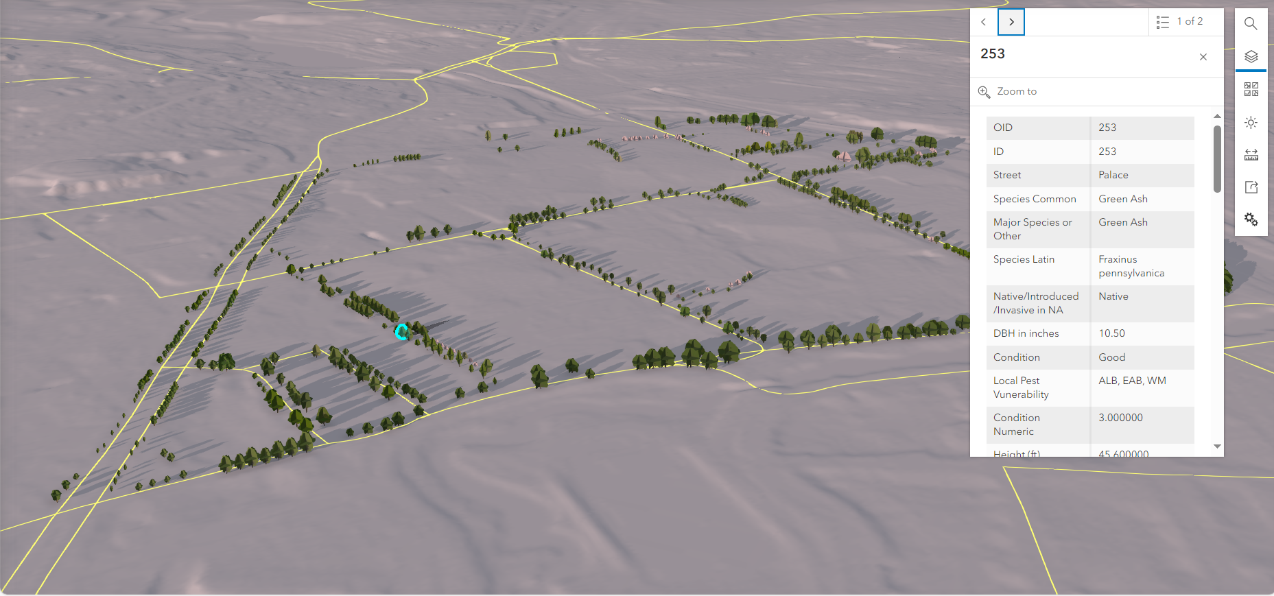
The Longwood Medical Area of Boston is one of the city’s urban heat islands and suffers from a relative lack of canopy cover, despite supporting an extremely vulnerable population. To help address this, during the fall of 2022, I personally surveyed every single one of the 769 street trees in the neighborhood, measured and recorded them, and created the neighborhood’s first comprehensive GIS dataset and model of the results. This has allowed our department to make more strategic and informed decisions about plantings, future development, and shade.
Planning

Working in a small urban planning department for an extremely economically significant neighborhood- the Longwood Medical Area employs nearly 70,000 people across just over 200 acres- I have taken on much of the infographic design and data visualization, having largely introduced current GIS workflows and GIS-Illustrator integration to my organization. This means that I must often produce graphics that will communicate essential information to busy people quickly, which has become a very useful skill.
Left: A graphic produced for the LMA’s open space framework showing projected inundation under various storm events.
Below: Map showing the number of LMA patients living in various MA congressional districts.

Thesis
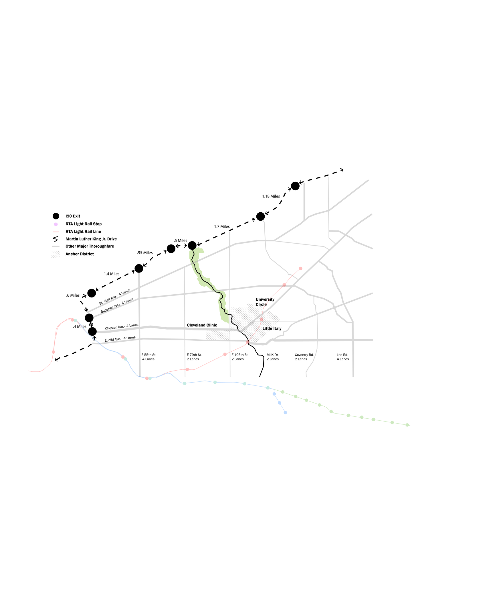
My thesis, to be completed May 2024, proposes a radical reimagining of circulation on the east side of Cleveland, Martin Luther King Drive, and the city’s historic Cultural Gardens. The gardens straddle MLK Dr. and have been divorced from their community and context by MLK’s use as a major connecting road for commuters- meaning that the historic park no longer serves the disadvantaged communities that flank it and instead serves as eye candy for suburban commuters. This project proposes to address that and other issues by:
- Removing the connection between I90 and MLK Drive
- Designing and siting gardens that honor more recent immigrant communities than the existing 1922 gardens
- increasing the density and diversity of uses in the park by adding gardens as well as business incubators and mixed-use spaces
- Creating berms that shelter pedestrians from the noise and hazards of traffic
- Altering the streetscape to incorporate best practices in road dieting
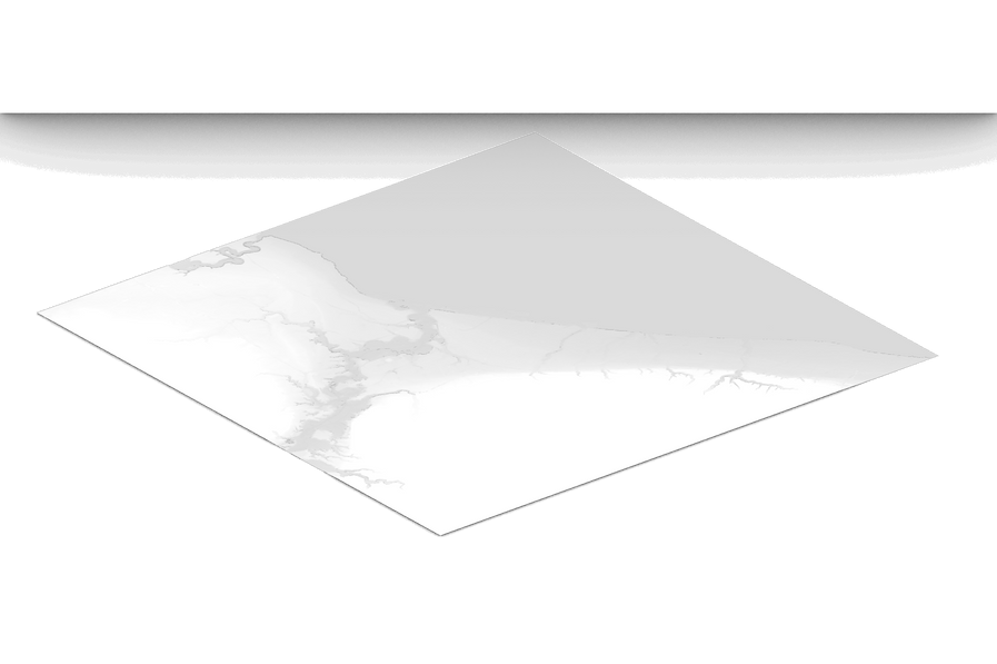
Above: Regional-scale Rhino model of Cleveland, Ohio’s topography, made using the heightfield command to extract elevations from a DEM.
3D Modeling
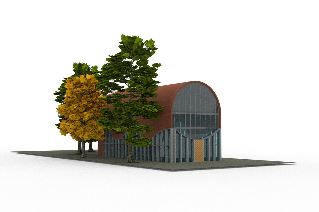
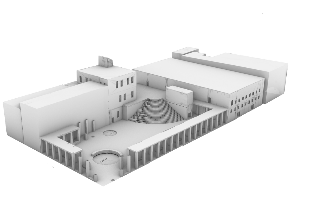
Above: Rhino study model of Sinagoga Justo Sierra proposal
Left: Rhino model of KOKO Architects’ Talinn Synagogue in Talinn, Estonia
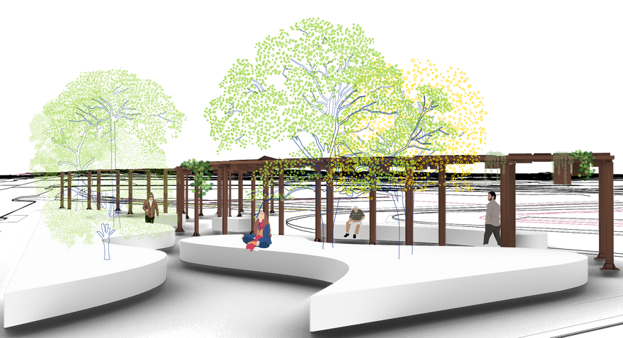
Below: Proposal for a shade structure and art piece to be located in Cambridge, MA.
Email
Jw.Kozikowski@gmail.com
Address
Brookline, MA, 02445
Phone
440-679-9526